The RightDataFor Every Location!
Just what you need, exactly where you need it!

Backed and trusted by many


Our Core Approach
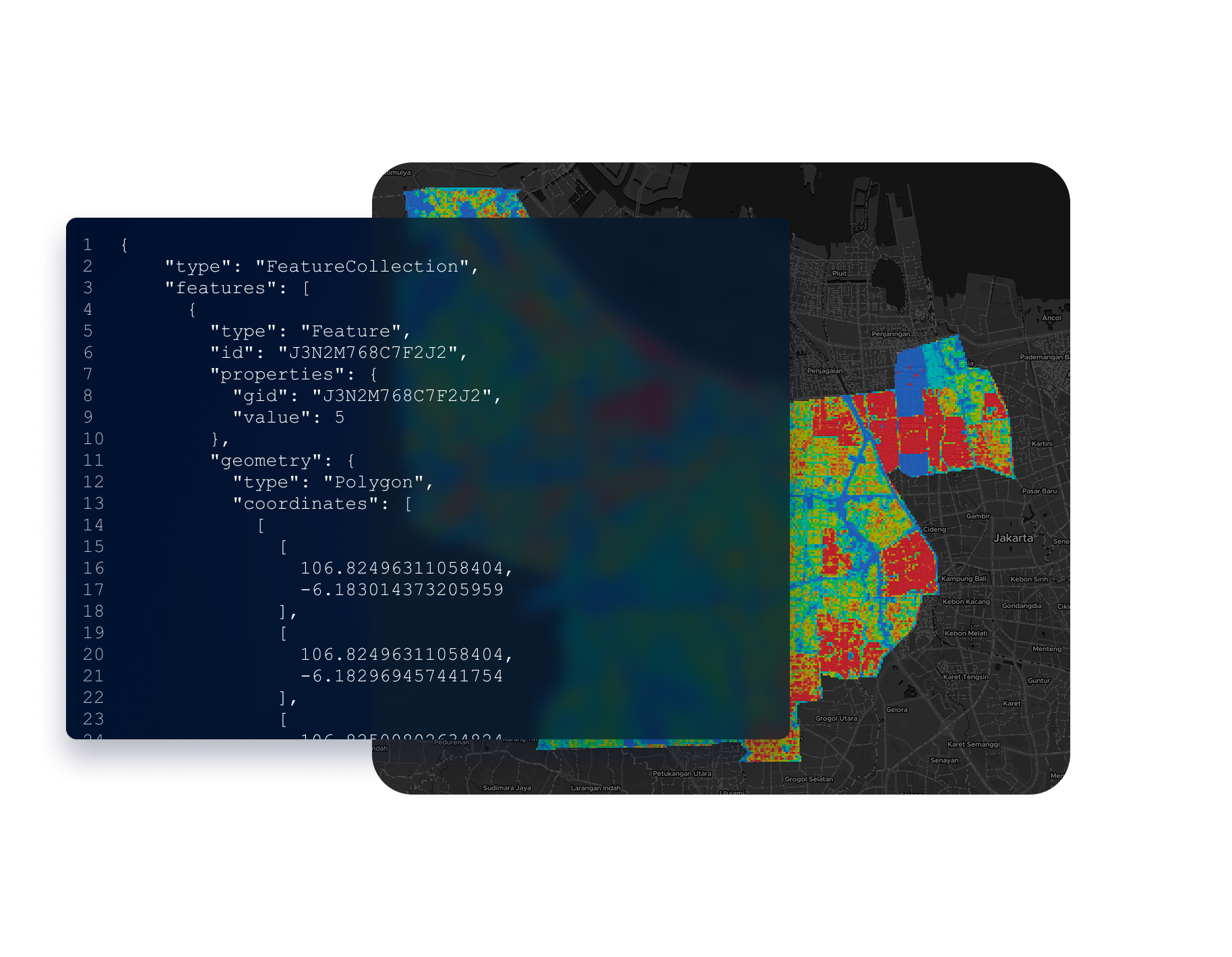
We divide Indonesia into detailed 50mx50m, enabling precise location-specific data that transcends administrative boundaries.

Accessing geospatial solutions has never been simpler!
We have simplified the discovery process into just three steps, making it easy for you to find the right solution.
Turn complex geospatial data into simple visual stories—GeoSquare helps you decide smarter, faster.
Shop smarter and faster! GeoSquare enables seamless transactions so you can move from discovery to decision in just a few clicks.
Unlock the power of geospatial insights anytime, anywhere. With GeoSquare, critical data is always at your fingertips for instant decision-making.
Geospatial Made Easy!
From data collection to actionable insights, we cover the entire geospatial value chain, ensuring you have everything needed from data acquisition to decision-making.

Ready Dataset
Benefit from raw, well-organized geospatial data that is ready for analysis. Our datasets are meticulously prepared to ensure they are accurate, comprehensive, and easy to integrate into your geospatial analyses and workflows.

Location Profiling
Leverage accurate and structured geospatial data to uncover the full potential of any location — from broad regions to micro-areas.

Location Scoring
Not all locations are created equal — and with Location Scoring, we quantify the potential of each area using multiple spatial and market-based variables.

Business Insight
Gain deep visibility into your business footprint. With Geosquare, you can easily analyze the coverage size of your outlets, check for overlapping trade areas, and identify high-performing locations that can be duplicated for scalable expansion.
Ship faster with powerful and easy-to-use APIs
Save engineering time with unified geospatial functionality. We obsess over the maze of location services, mapping APIs, and spatial data that make up the global geographic landscape so that your team can build what you need on one platform.
News, Tips, and Updates
Here's where we share what's new and what's next. From exciting announcements to helpful advice that you can use today, this is your go-to source. We're glad you're here—dive in and explore!
Frequently asked questions
Explore relevant questions and answers about our platform and products.
Load more
Need an in-depth discussion regarding your needs?
We will help your business with appropriate geospatial-based solutions to make it more effective and efficient.
PT Geo Inovasi Nusantara.
Signature by Regus, South Quarter
Tower C Lantai 10 Jalan RA Kartini Kav 8,
Cilandak Jakarta, 12430
Solution
Approach
Services
Integration
Company
FAQ
Contact Us
About Us
All rights reserved. PT Geo Inovasi Nusantara (c) 2024