
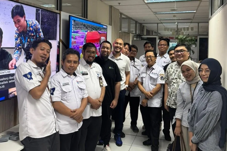
Jakarta (8 October 2025) — The DKI Jakarta Regional Revenue Agency (Badan Pendapatan Daerah Provinsi DKI Jakarta, or Bapenda) held a kick-off meeting with the GeoSquare.ai team to launch a bold collaboration aimed at redefining how property tax values are assessed.
The atmosphere of the meeting room was anything but ordinary. Amidst laughter and easy conversations, the room was filled with ambition-a mix of government innovators and data scientists ready to bridge the gap between numbers and fairness.
The meeting began with both teams introducing their visions through a lively exchange of presentations. Bapenda outlined its aspirations for greater tax equality through data accuracy and transparency, while GeoSquare.ai showcased how artificial intelligence and spatial modeling could transform those aspirations into measurable outcomes. What could have been a routine technical meeting became an engaging dialogue, peppered with humour, genuine curiosity, and shared determination to make Jakarta's taxation smarter.
Background: The Drive for Tax Equality
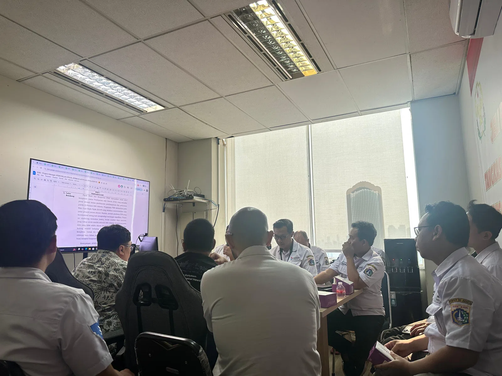
Jakarta’s Property Tax (PBB) is a crucial pillar of the city’s local revenue (PAD), but long-standing challenges persist. Traditional methods for determining the Nilai Jual Objek Pajak (NJOP) often lag behind real market dynamics, constrained by manual surveys, limited manpower, and outdated datasets.
The result? Significant gaps between market value and taxable value—gaps that can lead to inefficiencies and perceptions of inequality.
Recognizing these challenges, Bapenda DKI Jakarta initiated a major step forward under the Jakarta SmartTax program: a spatial AI modeling project designed to benchmark land and building values with high granularity and accuracy. The initiative aims to ensure that taxation reflects real-world value—creating a system that is fairer, more transparent, and grounded in evidence-based analysis.
The GeoSquare Approach
At the core of this collaboration lies GeoSquare’s high-resolution GeoAI modeling framework, which leverages machine learning and spatial data to predict property values across Jakarta. Using a standardized 50m x 50m grid, every square of the city becomes a data point—integrating economic transactions, infrastructure accessibility, demographic patterns, and environmental risk indicators.
GeoSquare’s methodology combines multiple data streams:
Bapenda’s official datasets—including cadastral boundaries, NJOP records, and BPHTB transaction data—as the foundation for validation;
GeoSquare’s proprietary spatial features, such as accessibility indices, points of interest, and built-up density layers;
Collaborative enrichment data, from demography and socio-economics to flood risk and real-time property listings.
With these layers combined, the model constructs a predictive map of land and building values—one that continuously learns and adapts to the dynamic realities of Jakarta’s property market.
How This Supports Tax Equality
For Bapenda, the project represents more than a technical upgrade—it’s a move toward fairness. With the power of AI-driven benchmarking, hidden gaps emerge, under- and over-valued zones become visible, and policy can finally meet reality with greater certainty.
Each of the 60 pilot wards (kelurahan) selected for the first phase acts as a living laboratory, representing the city’s socio-economic diversity. Insights drawn from these models will not only refine the NJOP benchmarks but also shape future zoning and development strategies.
In essence, AI becomes a tool for equality—helping Jakarta ensure that residents and businesses alike contribute fairly to the city they inhabit.
GeoAI as a Tool for Smarter Cities
The collaboration also underscores Jakarta’s broader digital transformation agenda. Through Jakarta SmartTax, spatial intelligence is being woven into the city’s governance fabric. The final output—an interactive GIS platform integrated with SmartTax—will allow policymakers to visualize, simulate, and make informed decisions based on up-to-date spatial data.
Beyond taxation, this modeling framework opens possibilities for urban planning, land value analysis, and equitable development. For GeoSquare.ai, it’s an opportunity to demonstrate how AI and geospatial science can directly serve the public good.
Looking Ahead
As the kick-off concluded with a round of smiles and shared optimism, both teams left the room energized. What began as a meeting evolved into a shared mission: to make Jakarta a reference point for data-driven, equitable taxation in Southeast Asia.
The coming months will see continuous data integration, model calibration, and platform development—all built upon collaboration, transparency, and technological excellence.
With GeoSquare.ai’s spatial intelligence and Bapenda’s commitment to innovation, Jakarta is setting a new standard: a fairer, smarter city powered by data.