
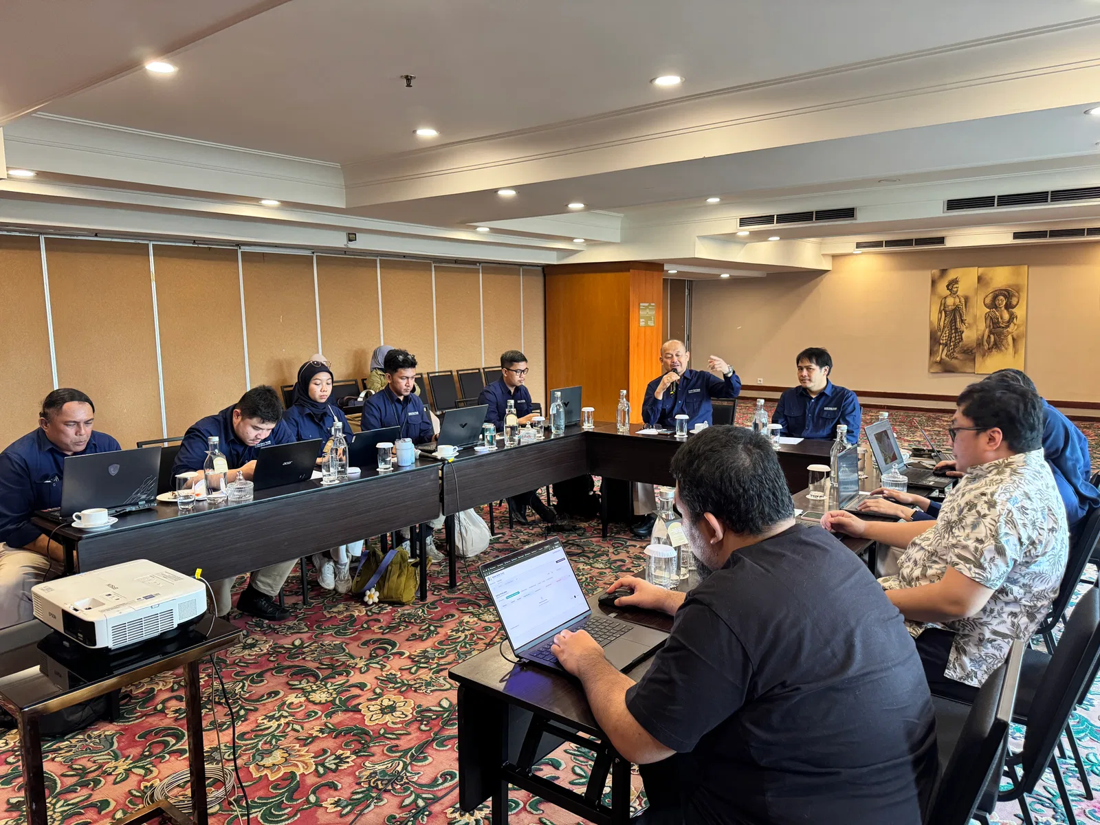
JAKARTA, 17 September 2026 — PT Geo Inovasi Nusantara (GeoSquare.ai) and Indonesia’s Land Bank Authority (Badan Bank Tanah) gathered today for a strategic discussion focused on previous collaborations. GeoSquare presented its next strategy under the banner: National Land and Commodity Intelligence Platform — From understanding land to optimizing land.
While the previous implementation focused on building a data pipeline, map-centric visualizations, and land inventory capabilities, this phase pivots toward active decision-making. By addressing national blind spots—millions of hectares of state assets that remain "registered but unread"—the collaboration bridges institutional authority with high-resolution satellite imagery and artificial intelligence. This synergy equips Badan Bank Tanah (BBT) with a "spatial brain" capable of converting raw spatial records into actionable, value-generating land management decisions.
Addressing User Feedback and Scaling Platform Intelligence
The meeting reflected an ongoing user-engagement approach to guide the next stage of development. In earlier stages, feedback highlighted that platforms could become overly map-centric, produce isolated insights, or lack direct actionable steps. GeoSquare directly resolved these challenges by introducing structured sequential workflows (maps to statistics to AI summaries), non-overlapping data presentations, and user-weighted actionable items.
The current phase expands the capabilities to solve critical operational gaps through two new advanced modules:
Land Opportunity & Exploration Intelligence: Enhances the suitability analysis for commodity-specific (e.g., rubber, coffee, palm oil, sugarcane) alongside automated risk and hazard assessments (floods, earthquakes, fires, landslides). It includes a "Smart Land Search & Discovery" tool to help BBT proactively detect land dynamics and unutilized land.
Granular Parcel-Based Suitability: Bridges desk research with actual spatial execution by evaluating land across four core dimensions: land use, land control, land ownership, and land utilization. Features include indicative inventory checks and automated downloadable preliminary master plans to streamline multi-agency coordination.
Unlocking the "Value Ladder" for Public Land Management
During the discussion, GeoSquare highlighted the "Value Ladder" framework, which guides land parcels through a progressive lifecycle: moving unread Indonesian land through potential analysis modules, into context-driven planning, and ultimately reaching optimal utilization.
By moving from passive data collection to proactive exploration, BBT can strengthen the technical basis for land acquisition, data-driven advocacy with regional governments and ministries, and streamlined execution for forest area release programs. This integrated ecosystem ensures that national land resources are systematically identified, evaluated, and deployed for the greatest economic value and public interest.