
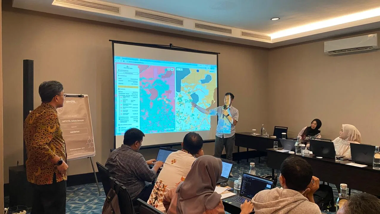
JAKARTA, 7 January 2026 — GeoSquare, a geospatial intelligence startup specializing in granular and actionable location data, recently conducted an intensive Focus Group Discussion (FGD) with one of its pioneering users–Badan Bank Tanah– to evaluate implementation outcomes and chart the course for enhanced platform capabilities.
Instead of providing generic maps or broad regional statistics, GeoSquare transforms accurate geographic data into precise, actionable intelligence. These insights are delivered in a granular manner down to a specific 50x50 square meters, allowing a more high-definition spatial data and a precise understanding of a certain area. This allows organizations to make confident, data-backed decisions for land-related management and operational processes. In the case of Badan Bank Tanah, the function of optimizing land in Indonesia requires a comprehensive understanding of the availability, the profile, and the necessary actionable steps.
Feedback-driven Discussion as a Product Co-Creation Approach
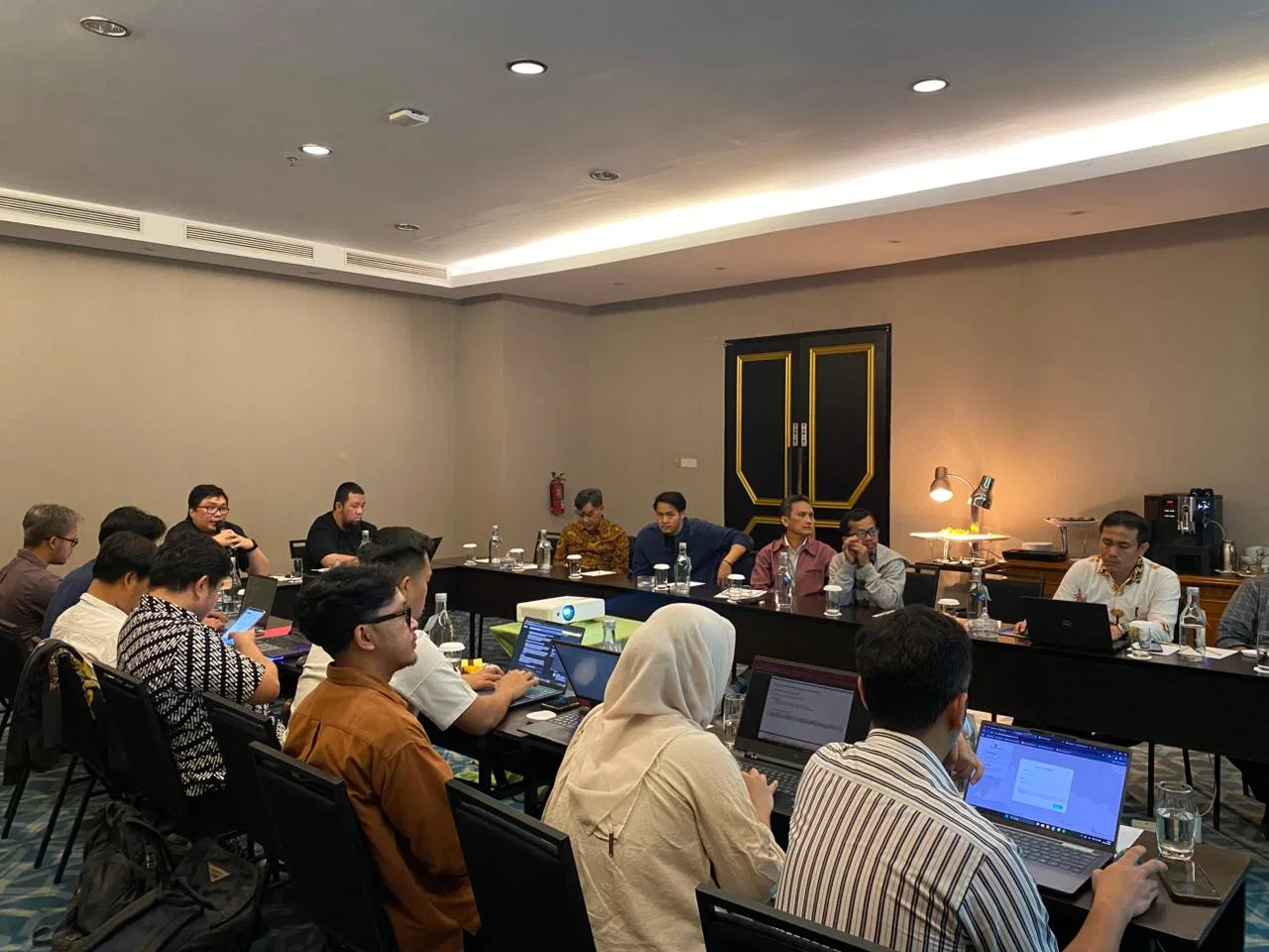
Held at Artotel Gelora Senayan, Jakarta, the session marked an energizing start to the year and a meaningful continuation of collaboration between GeoSquare and Badan Bank Tanah. Set against a relaxed yet professional setting, the room brought together geospatial practitioners, product specialists, and decision-makers in an open and collegial atmosphere. Discussions flowed organically—balancing technical depth with practical reflection—as participants exchanged insights, challenges, and forward-looking ideas.
The FGD was structured in two complementary sessions. The first focused on reviewing Phase 1 implementation, where users provided candid feedback on their experience with GeoSquare's initial deployment. The second session introduced Phase 2 prototypes and explored evolving user requirements. By engaging deeply with users who have implemented the platform in real-world scenarios, GeoSquare is addressing a fundamental challenge across industries: the gap between having data and knowing what to do with it.
Looking Ahead: Phase 2 and Beyond
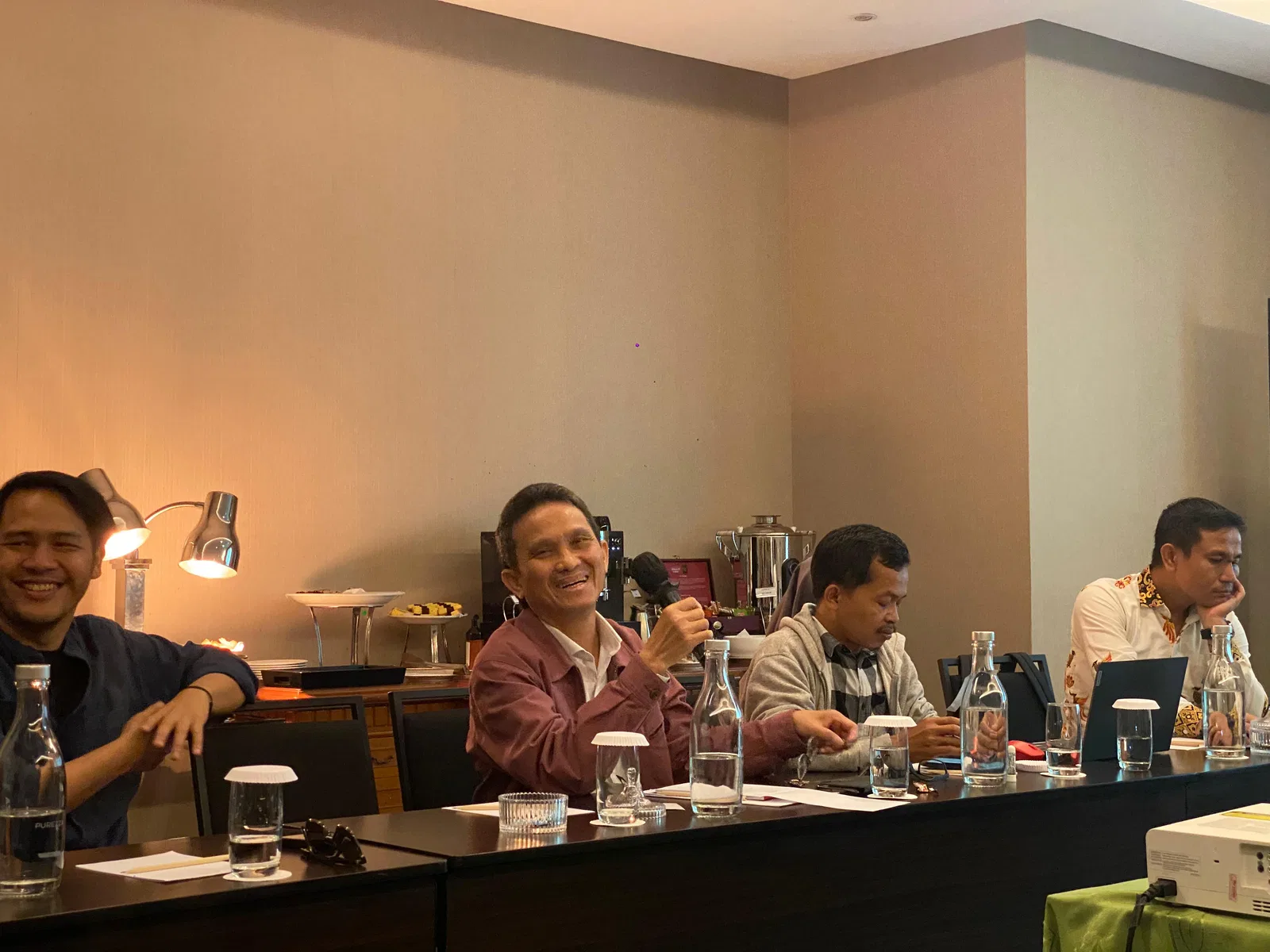
Badan Bank Tanah’s authentic observations provide critical insight into user perspectives, enabling the platform to become even more responsive to their needs. The Phase 2 prototype demonstrations introduced enhanced capabilities informed directly by Phase 1 learnings. Users engaged in detailed requirement discussions, ensuring the platform's evolution aligns with real-world operational needs rather than anticipated use cases.
GeoSquare’s collaboration with key institutional users such as Badan Bank Tanah demonstrates how granular, actionable geospatial intelligence can support the identification, evaluation, and optimization of vacant land in alignment with national land governance objectives. From assessing land availability and spatial characteristics to informing prioritization and utilization strategies, the insights generated through this FGD-driven process highlight the role of user-informed geospatial platforms in strengthening evidence-based land management for the public interest.