
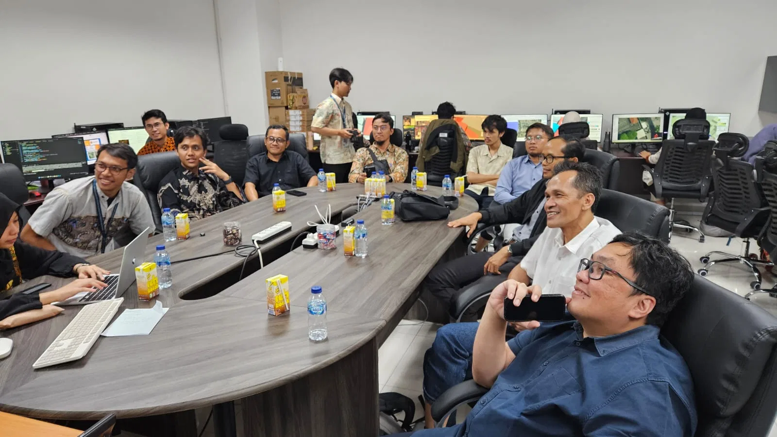
In an era where data precision defines progress, collaboration between academia and industry has become increasingly urgent to accelerate geospatial innovation. GeoSquare.ai joined a strategic discussion with the Department of Geodesy Engineering at Universitas Gadjah Mada (UGM) and ID Survey to explore joint opportunities in AI-powered spatial analysis and smart city applications.
Curiosity and enthusiasm sparked as the UGM team outlined the goals of the collaboration, which aim to enhance the efficiency and accuracy of survey processes. Research in image classification, digital twin development, and AI-driven spatial analysis is expected to pave the way toward achieving that goal.
The discussion, led by Prof. Trias Aditya and Ruli Andaru, expanded into how the latest advances in spatial data can strengthen planning and decision-making at scale — from urban analysis to national spatial infrastructure.
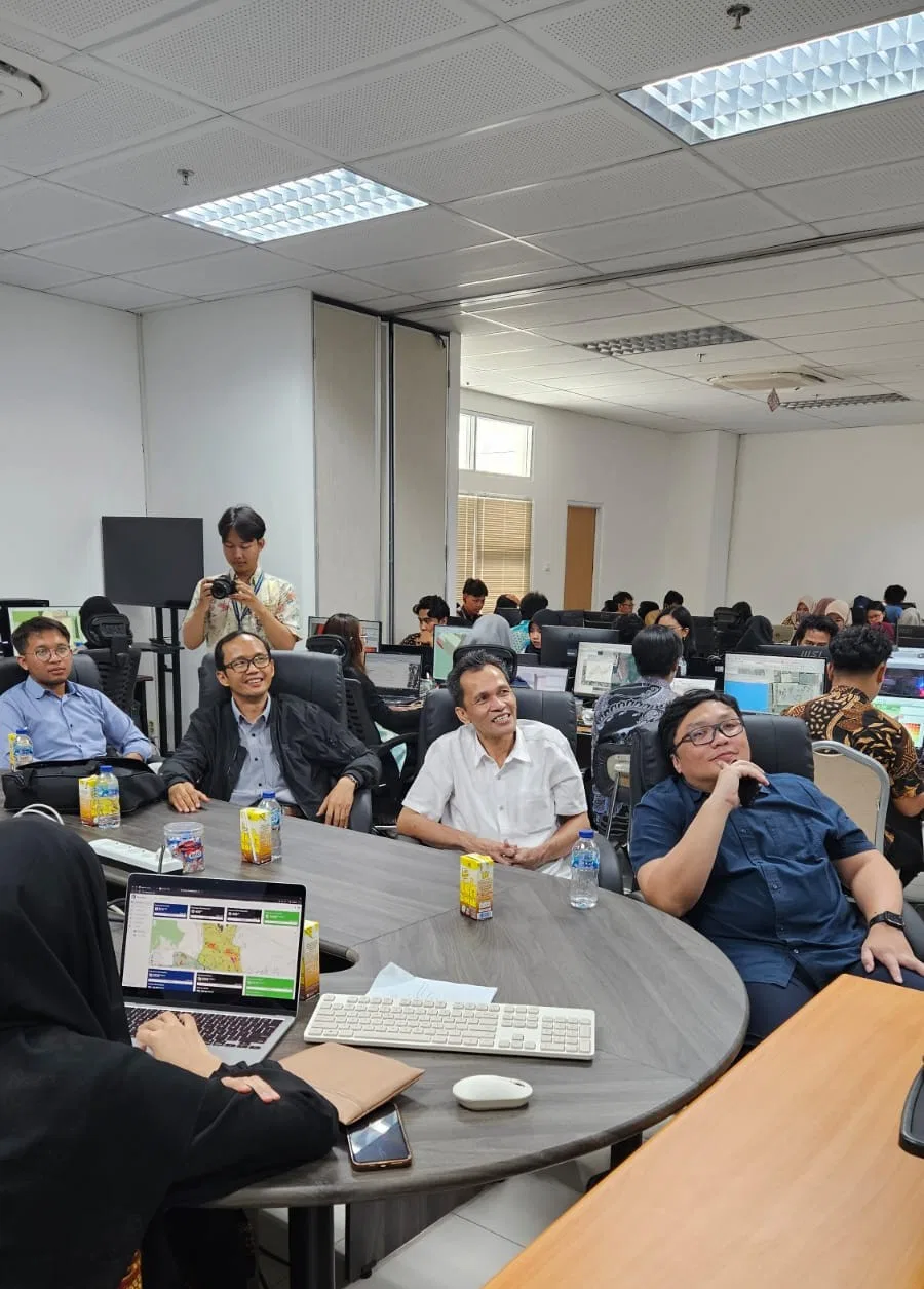
With innovative scholars, industry leaders have the opportunity to harness this strength. By aligning university research with industry development, creative innovations from academia can be effectively applied, ensuring their potential contributes to tangible outcomes. Furthermore, future research can be directed toward structured and dedicated follow-up initiatives. This collaboration aims to build a more adaptive and impactful geospatial ecosystem for Indonesia — one that transforms academic breakthroughs into real-world solutions.
As GeoSquare.ai continues to advance its AI-based GeoSquare System and national-scale insights, partnerships like this reinforce a shared mission: to build the foundation of smarter, data-driven cities for a sovereign, advanced, and prosperous Indonesia.