
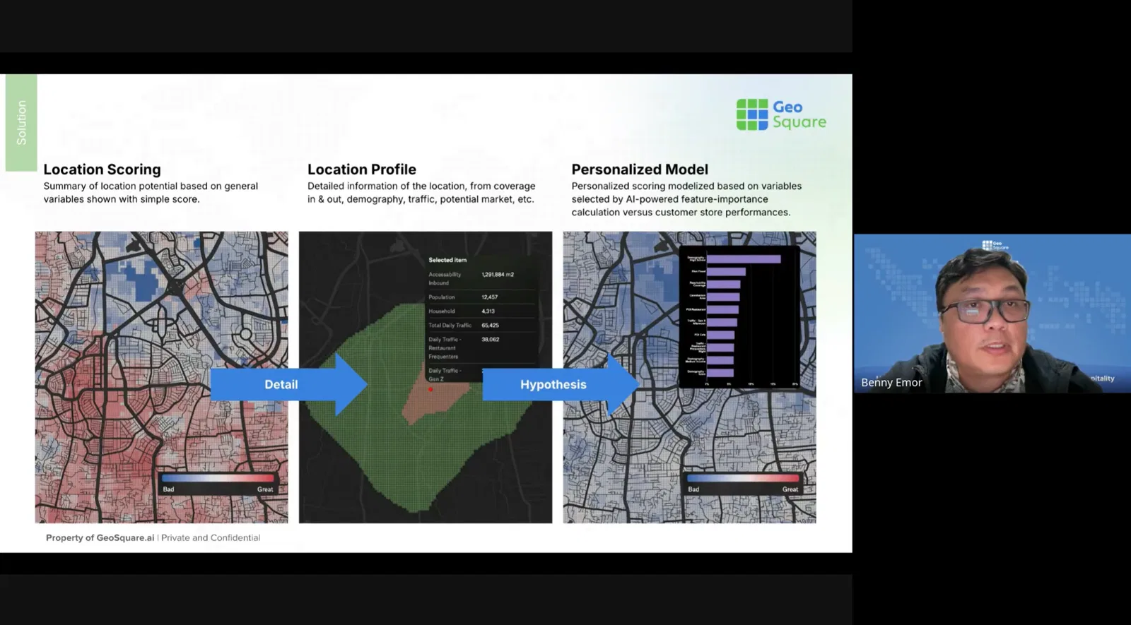
The first-ever GeoSquare webinar successfully took place on Thursday (07/03), bringing together business experts, retail strategists, and F&B professionals in one engaging session for geospatial technologies. The theme of the session is “Unlocking Growth: Smart Site Selection for F&B, Retail, and Hospitality.”, and the room is full of curiosity and ambition from each participant, marking it GeoSquare's first step in opening conversations on how spatial analytics can support business growth.
Over the past few years, location-based analytics has become more than a buzzword. Businesses today can't afford to overlook how the spatial aspect can transform strategic decisions. Whether it's choosing where to open the next outlet or understanding where customers move, spatial intelligence is quickly becoming the edge that defines market leaders. Like a commander's battlefield map, it helps leaders see opportunities and anticipate risks—giving them the upper hand before taking any move.
Yet, there's a common challenge: geospatial maps are often too technical to interpret. While many data providers can produce detailed maps, they often end up as digital dust, unused or misunderstood by the business teams they're meant to empower. This is where GeoSquare.ai steps in—to bridge the gap between complex geospatial data and clear, actionable business insights.
Problems with Current Solutions
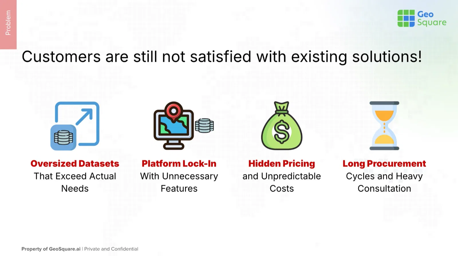
Geospatial technology today is mature—but still fragmented. Many available datasets are too broad or too heavy for the practical needs of businesses. A company might only need insights for five specific wards, but existing data packages often come in city-scale bundles.
Another recurring issue is platform lock-in. Many providers require users to subscribe to feature-heavy ecosystems that hide costs behind layers of registration and integration. This complexity leads to long procurement cycles and inflated budgets, while data from different sources remains scattered across agencies and platforms.
Square-based Spatial Analytics as the Solution
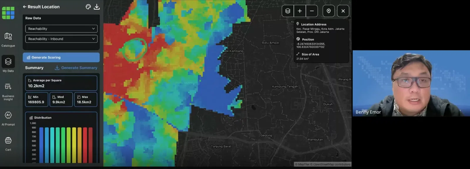
GeoSquare.ai introduces a new way to think about spatial data: square-based analytics. Instead of relying on administrative boundaries that vary in size and meaning, GeoSquare divides the map into uniform 50x50-meter “GeoSquare Grids”—small, consistent spatial units that make data easier to compare, combine, and act upon.
Each GeoSquare comes enriched with high-resolution indicators such as demography, people traffic, food expenditure, points of interest, and accessibility, enabling users to analyze areas at a business-relevant scale. Whether for F&B expansion, retail optimization, or property evaluation, decision-makers can finally access insights that are both accurate and digestible—without having to become GIS experts themselves.
With GeoSquare.ai, actionable maps are no longer hard to read. They become an intuitive part of every business strategy, transforming location data into real growth opportunities.
Lively Meeting Room
The Q&A session brought out a range of practical questions from participants, reflecting their genuine curiosity about GeoSquare's capabilities and coverage.
Several attendees were eager to know about data accessibility and format, asking whether datasets could be downloaded as shapefiles with full attributes. The answer: yes — GeoSquare datasets can be directly exported as shapefiles and opened across any preferred platform.
Others were curious about how GeoSquare determines location potential, especially when comparing two sites with similar characteristics. CEO Benny Emor explained that the platform uses its GeoSquare Score to highlight areas with higher business potential, helping users make data-backed choices confidently.
Questions about data coverage also surfaced, with participants asking whether GeoSquare's data includes regions beyond Java. Benny confirmed that major cities across Indonesia are already available, including areas such as Yogyakarta.
The session closed with strong engagement from the audience — a clear sign that the demand for accessible, business-ready geospatial insight is rapidly growing.