
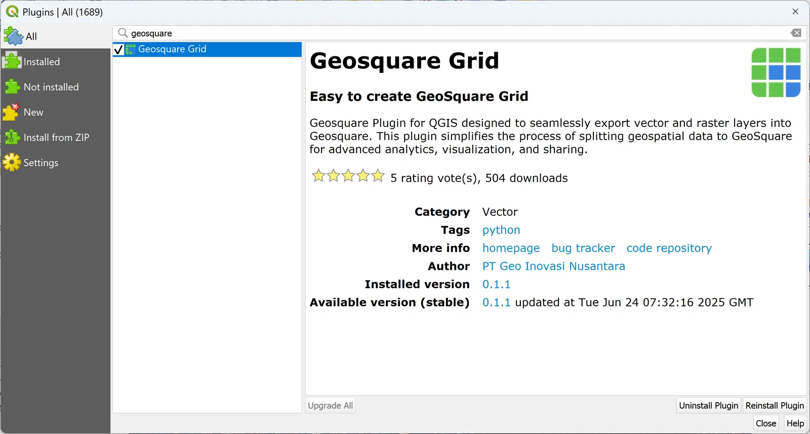
Jakarta, Indonesia (8/27), GeoSquare.ai announced the public release of its open-source tool, and it’s not something to be missed. The Indonesian-based startup is inviting innovators, researchers, and mapping professionals to expand the GeoSquare community and accelerate the adoption of a grid-based approach to geospatial data.
GeoSquare provides a simple grid system designed to deliver higher consistency and easier interpretation than traditional polygon-based methods, and to offer an alternative to existing standards such as Google’s S2 and Uber’s H3.
Why GeoSquare Grid?
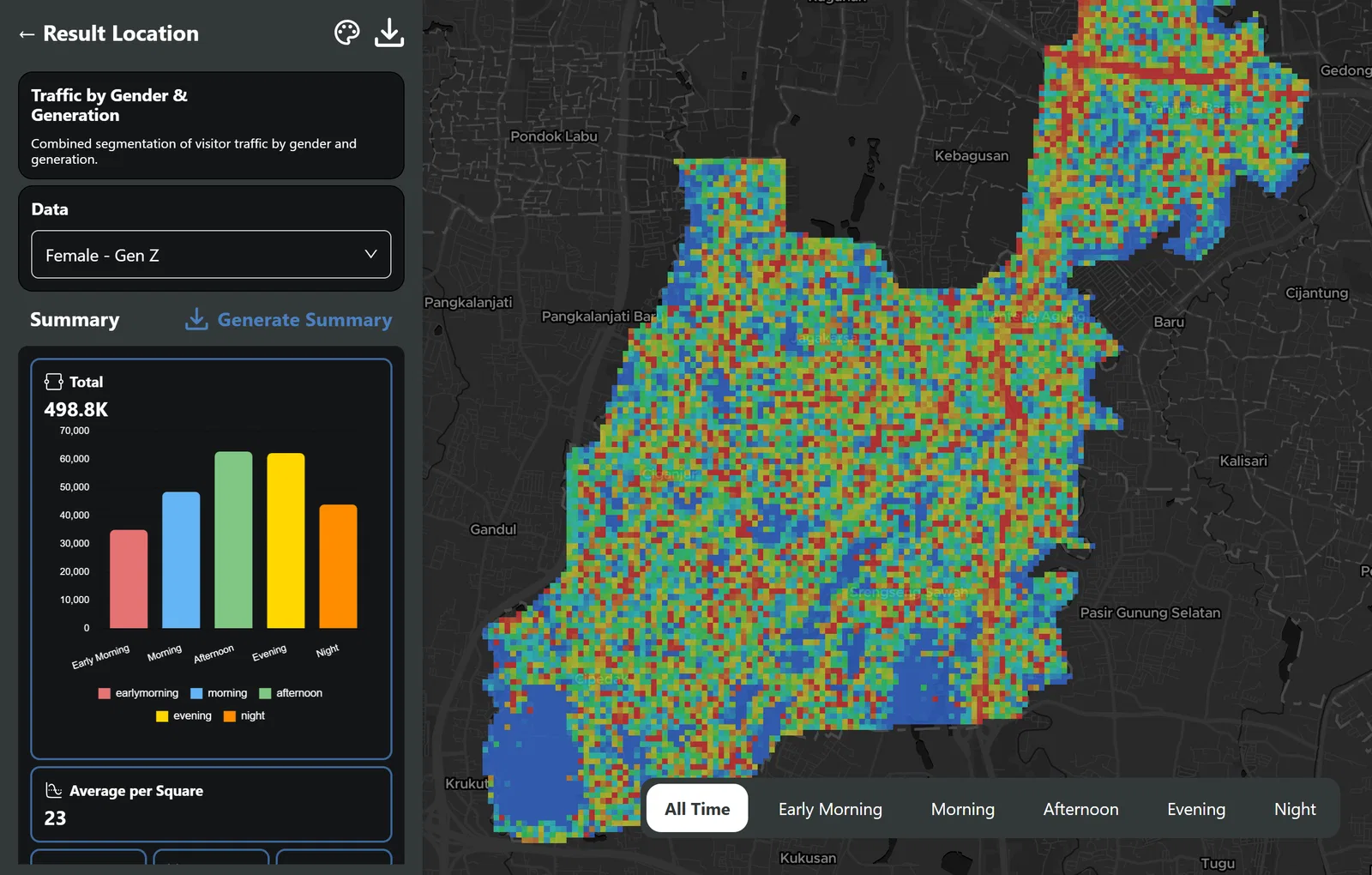
Location data today is too often locked in complex geometry that is difficult to use in fast-paced decision-making. The GeoSquare Grid replaces irregular polygons with a modular, bite-sized grid structure that is consistent across the nation. The result is simpler indexing, improved computational efficiency, and clearer data for businesses and governments alike.
As a futuristic vision, the GeoSquare Grid benefits from focusing on simple and convenient solutions. They are purposely designed to be bite-sized, while also providing rich insights with thematic elements. This system can bridge the geospatial elements and applicable solutions, including business intelligence, banking and insurance services, real estate professionals, retail and logistics services, and many others requiring innovative solutions. That is why this system is being opened to support collaborative mapping and ensure the richness of national geospatial insights.
Building an Inclusive Geospatial Future, Together
“At GeoSquare.ai, we believe that location is more than just a coordinate — it’s the foundation for innovation, opportunity, and progress,” states Benny Emor, Founder and CEO. “As we open GeoSquare to the world, we are taking a bold step towards creating a truly inclusive geospatial ecosystem: one where entrepreneurs, professionals, students, researchers, and everyday innovators can all contribute, collaborate, and thrive.”
Opening GeoSquare means opening possibilities:
A real estate agent in a small town can access rich spatial insights once reserved for large corporations.
A fintech startup can instantly plug into location risk models to make smarter lending decisions.
A logistics entrepreneur can plan better routes and expand sustainably.
A student can contribute their mapping project and see it power a real-world solution.
Our vision is simple yet powerful: to democratize access to spatial data and unlock the power of geospatial insights for everyone. Today, location data is too often trapped in silos — expensive, inaccessible, and disconnected from the real needs of businesses and communities. GeoSquare.ai was built to change that. By creating a system of modular, thematic, bite-sized Geo-Squares, we are making it possible for anyone to build, share, and apply geospatial knowledge with ease, transparency, and impact.
We are turning expertise into opportunity. We are turning passion into progress. Together, we are not just mapping the world — we are reshaping how spatial insights work for the world. We invite you to join us. Contribute your knowledge. Share your insights. Build your future — and help others build theirs.
Benny Ronald Emor
Founder & CEO
Our goal as CTPOs is always to balance innovation with practicality. By using grids instead of irregular polygons, we’ve built a foundation that not only simplifies spatial data, but also scales efficiently across platforms and use cases. It’s about giving both developers and decision-makers a system that is fast, reliable, and future-proof.
Gurun Nevada
Chief Technology Officer
GeoSquare offers a highly intuitive system by simplifying complex spatial data into easy-to-understand grids. Compared to irregular polygons, grids are more consistent and familiar, similar to how coordinate systems work, making boundary mapping much clearer, faster, and more reliable.
Azza Sawungrana
Head of Geospatial
From an operations and partnerships perspective, what excites me most is how this system opens doors for collaboration. With GeoSquare, local data providers, startups, and even students can contribute in the same format as large organizations. That means stronger partnerships, broader adoption, and ultimately, a richer national geospatial ecosystem.
Annisa Irma
Head of Operations and Partnerships