
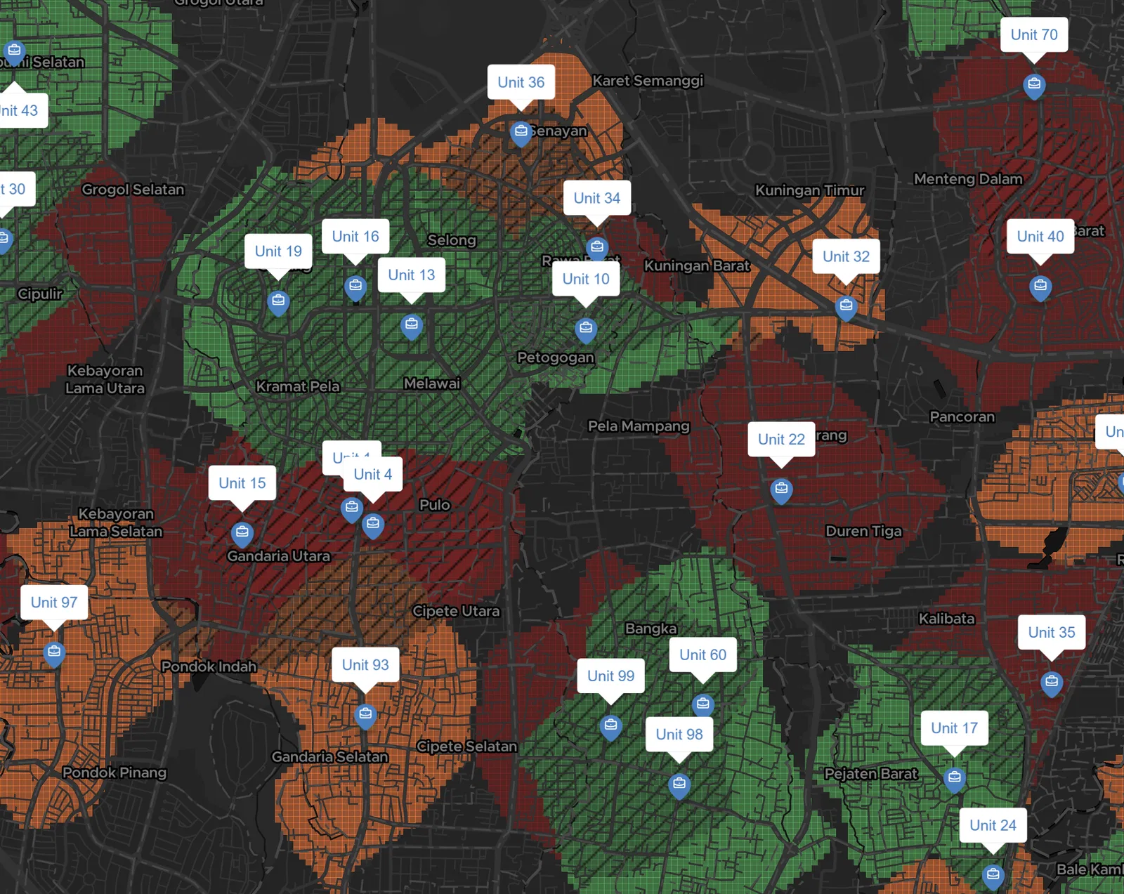
Geospatial and location-based insights are quickly becoming a game-changer for businesses today. More and more owners are considering the most overlooked aspect, yet it has the potential to make or break their presence in the industry-the spatial sense.
How much foot traffic passes your location? Are you near the main road? How close are you to your competitor? Or would you rather stay close?
These questions can decide whether a branch thrives or struggles. With precise spatial insights, owners can move with confidence whether to assess their branch outlets, identify which people profile has the highest customer rate, or even expand to a new area. All it takes is the right map, built with the right data for the right needs.
Why Squares?
The problem: traditional maps can be overwhelming. What data do you include? Whats the right scale? And once you've built it, can the decision-maker actually understand it at a glance?
That's why we believe maps should be instantly recognizable and decision-ready. Squares make that possible. They break down complexity into clean, bite-sized pieces that are easy to interpret — the kind of map you don't have to squint at.
Why GeoSquare?
Map creation is one thing, but turning your data into square-based insights takes serious computation. That's where GeoSquare comes in.
The GeoSquare grid system is available to the public and ready to use. Square-based insights created with the GeoSquare system will maintain your data's quality and ensure easy-to-interpret visuals for the end user to fully understand.
With GeoSquare, you don't just make maps. You make maps that make sense.