Business Insights
BUSINESS INSIGHTS
Multi-layered spatial intelligence connecting ground demographics, mobility, environmental risks, and machine learning models for precise commercial decisions.
Location Profile
Detailed information of the location, from foot traffic, commercial coverage, demography, and hazard analysis.
Hybrid Modelling
Blends expert spatial knowledge with machine learning to connect multiple data layers, revealing patterns that matter.
Land Value Model
Turns those patterns into detailed land value estimates and viability scores, enriched by key influencing drivers.
From Raw Geographic Layers to Quantified Land Value
Income strata, education levels, household purchasing power, and desirable demographic patterns.
Proximity to central commercial hubs, employment nodes, government centers, and arterial avenues.
Official spatial zoning: residential, commercial, industrial, green belt, and mixed-use regulations.
10-year hydrological flood return models, elevation, drainage capacity, and historical inundation risk.
Day vs night mobility density, commuter footfall intensity, and active catchment population size.
Transit isochrones to MRT, LRT, Commuter Line, toll gates, and primary multi-modal access routes.
Clustering of F&B, supermarkets, healthcare facilities, schools, and essential lifestyle services.
Current transaction prices, listing comparables, and buyer-seller equilibrium at specific time windows.
Final objective economic value per 50×50m grid, independent of building structures, calibrated by AI.
Three Specialized Analytical Engines
Targeted AI workflows designed for expansion strategists, territory managers, and supply chain operators.
Personalized Expansion Model
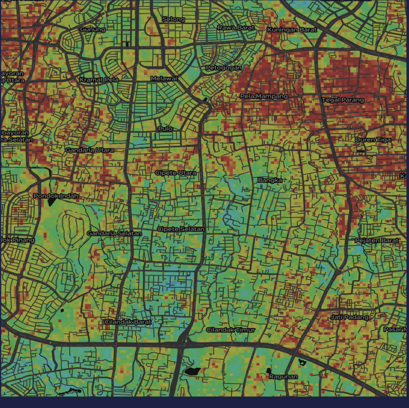
Uses machine learning with thousands of spatial variables to identify key drivers of store success. Produces heat maps that highlight the best areas for future expansion based on feature importance.
Store Location Profile
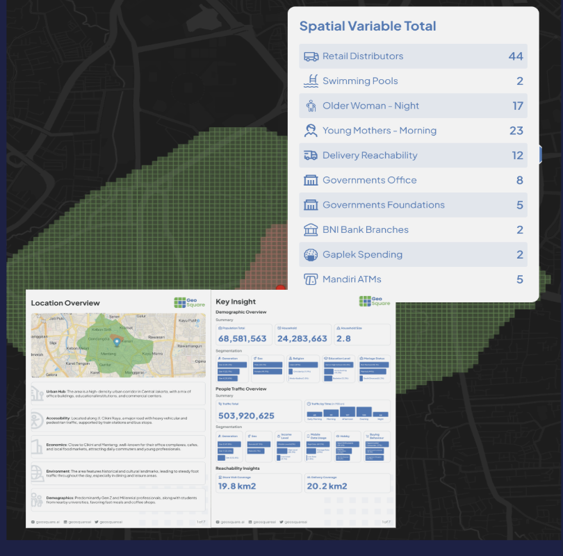
Detailed information of the location, from traffic, coverage, demography, and hazard analysis. Enhanced with AI-generated reports offering tailored sales, delivery feasibility, and marketing strategies.
Demand Forecasting & Alerts
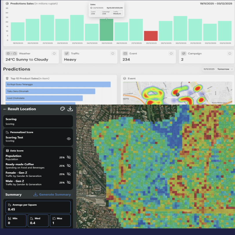
Combines weather, traffic, event context, urban indicators, and historical sales data to forecast hourly outlet-level demand, giving operators proactive replenishment and staffing alerts.
Others build platforms.
We build the brain.
Schedule a confidential consultation with our spatial data team or request sample reports to evaluate precision location intelligence first-hand.