Geospatial AI
GEOSPATIAL AI, DIGITAL TWIN, & GIS
Enhance your insights with Geospatial AI for: automatic data extractions for buildings, land covers, tree counting; digital twin & 3D modeling; and GIS & Remote Sensing analytics.
Building Detection
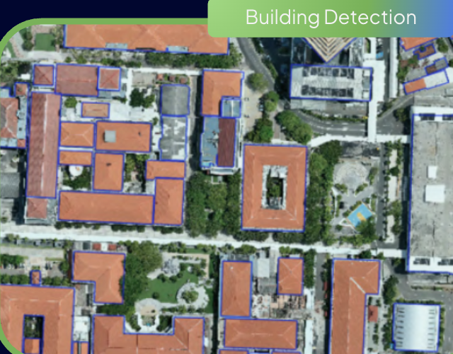
Automated deep-learning segmentation of building footprints, roof typology, and perimeter dimensions from high-resolution satellite and aerial ortho-imagery.
Land Cover Detection
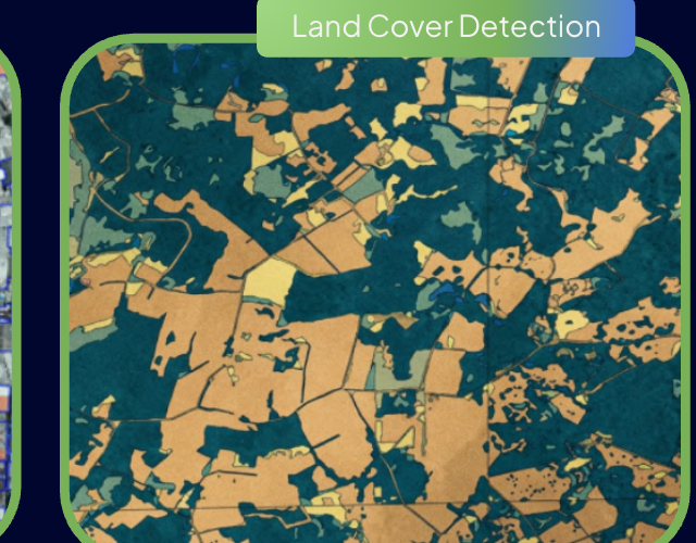
Multi-temporal classification of land surface changes: vegetation vigor, built-up surfaces, water bodies, and agricultural plots for regional planning.
Tree Counting
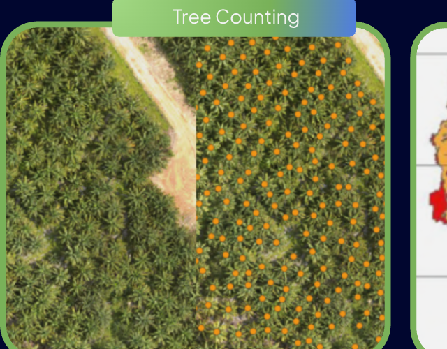
Automated crown detection and individual counting for oil palm, industrial timber (HTI), and agroforestry plantations with NDVI canopy vitality indexing.
GIS Analytics
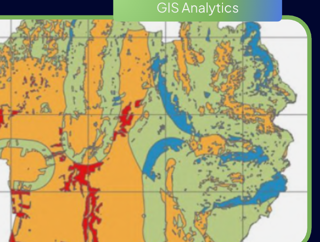
Advanced spatial statistical analysis: isochrone reachability modeling, kernel density estimation, and multi-criteria decision analysis (MCDA).
Flood Analysis
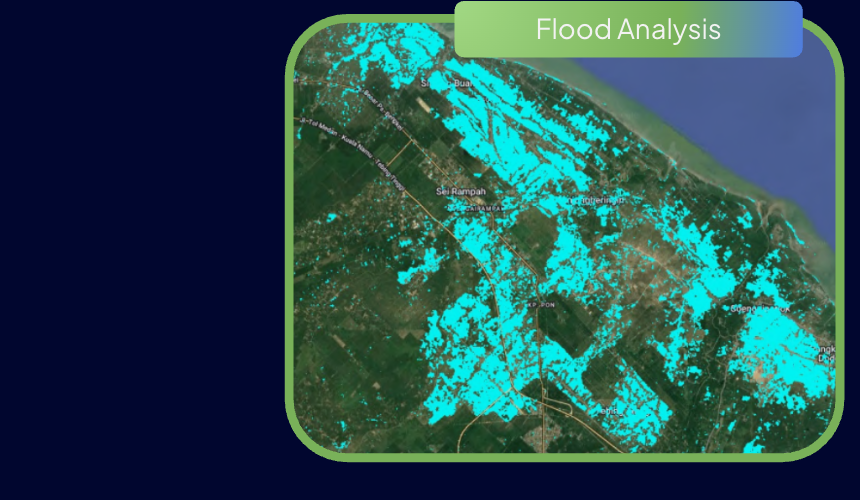
Hydrological runoff simulations combining high-precision Digital Elevation Models (DEM/DSM), historic satellite radar (SAR) inundation, and rainfall return periods.
Digital Twin & 3D Modeling
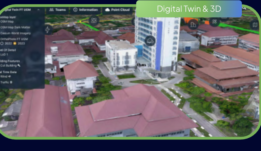
Millimeter-grade LiDAR point cloud processing, LoD2 3D building models, and textured 3D meshes for smart city governance and asset life-cycle management.
Network Analytics
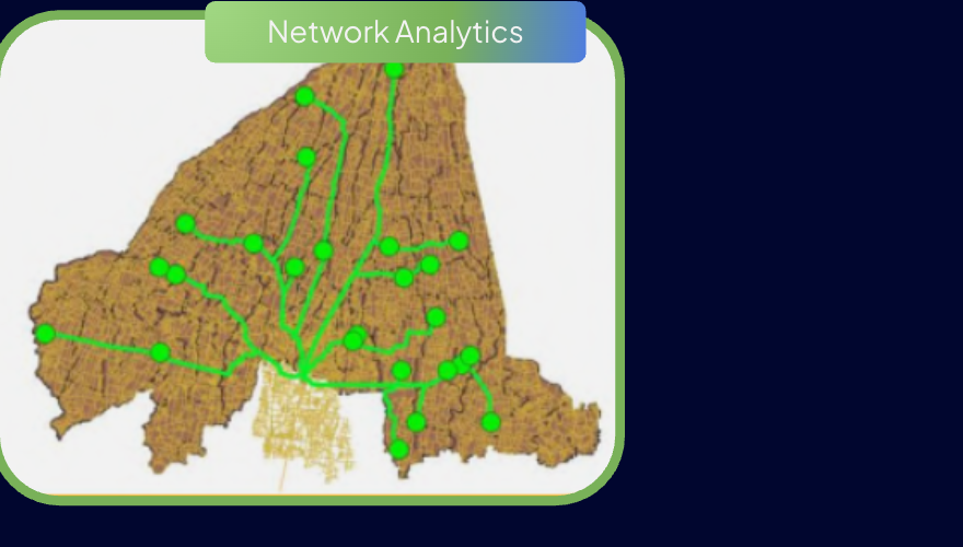
High-performance road network topology analysis, multi-depot vehicle routing optimization, and arterial supply chain bottleneck identification.
Others build platforms.
We build the brain.
Schedule a confidential consultation with our spatial data team or request sample reports to evaluate precision location intelligence first-hand.