Land Search & EUDR Intelligence
LAND SEARCH & EUDR INTELLIGENCE
Empowering national land banking (Badan Bank Tanah), corporate forestry, and industrial plantations with cadastre availability, biophysical suitability, and EUDR compliance audits.
Land Availability
Identify available land by checking forest status, title deed, and current utilization. Helps stakeholders quickly see what land can be managed or repurposed.

Land Profile
Evaluate land profile based on characteristics such as soil, slope, water, and vegetation. Provides suitability scores for agriculture, plantations, and settlements.

Legal & EUDR Status
Monitor historical land status by assessing with EUDR compliance, spatial plans, and restricted forest areas to prevent deforestation and land degradation.
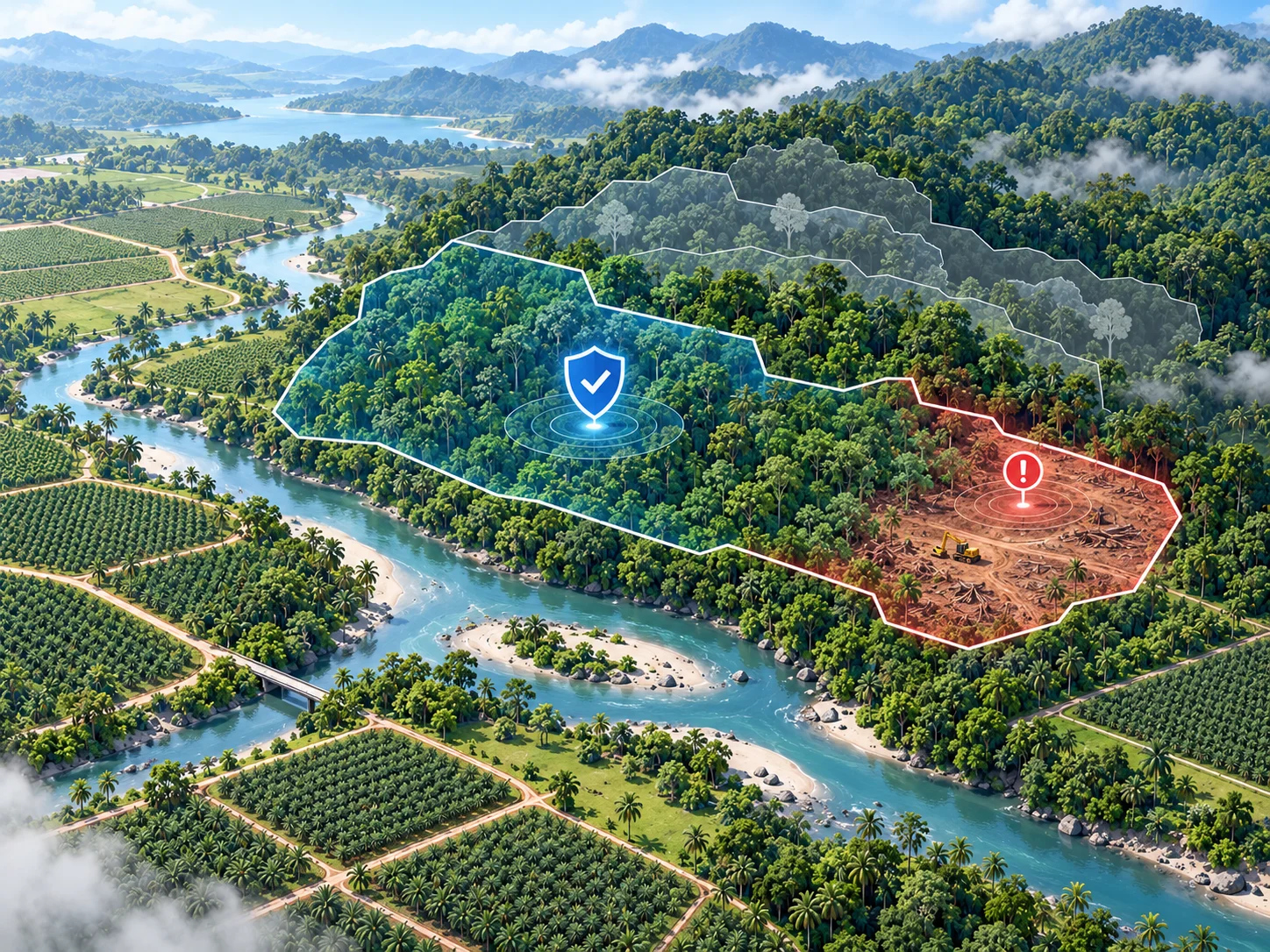
Badan Bank Tanah Cadastral Availability (Rejang Lebong, Bengkulu)
Others build platforms.
We build the brain.
Schedule a confidential consultation with our spatial data team or request sample reports to evaluate precision location intelligence first-hand.