
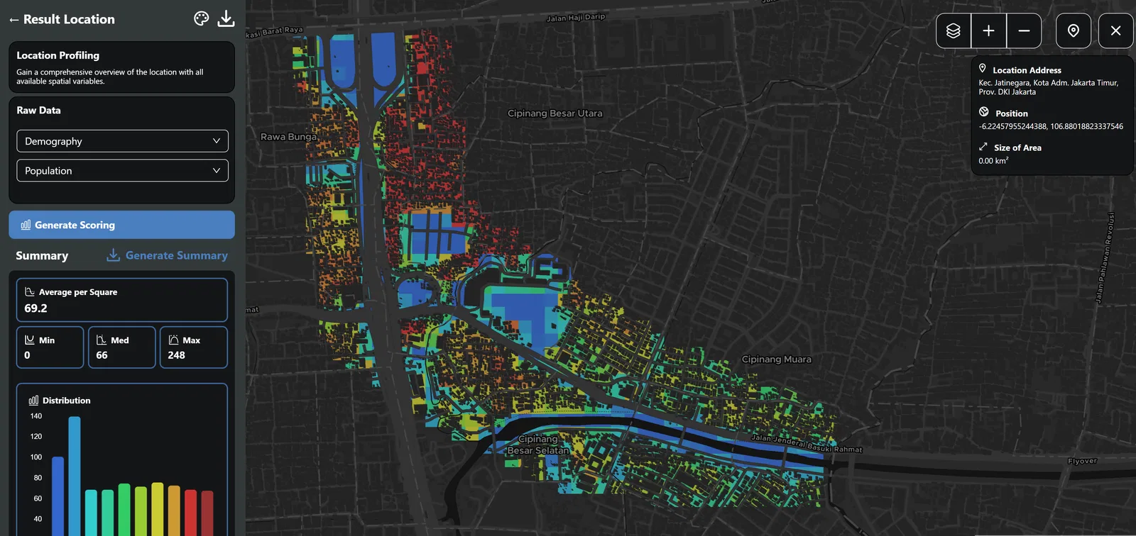
We're inviting geospatial innovators and mapping masterminds to join the GeoSquare community! Turn your spatial data expertise into easy-to-understand GeoSquare grids. Use our open tools to elevate your data the GeoSquare way and contribute to smarter location-based decisions across Indonesia.
On the Journey Towards Simplicity
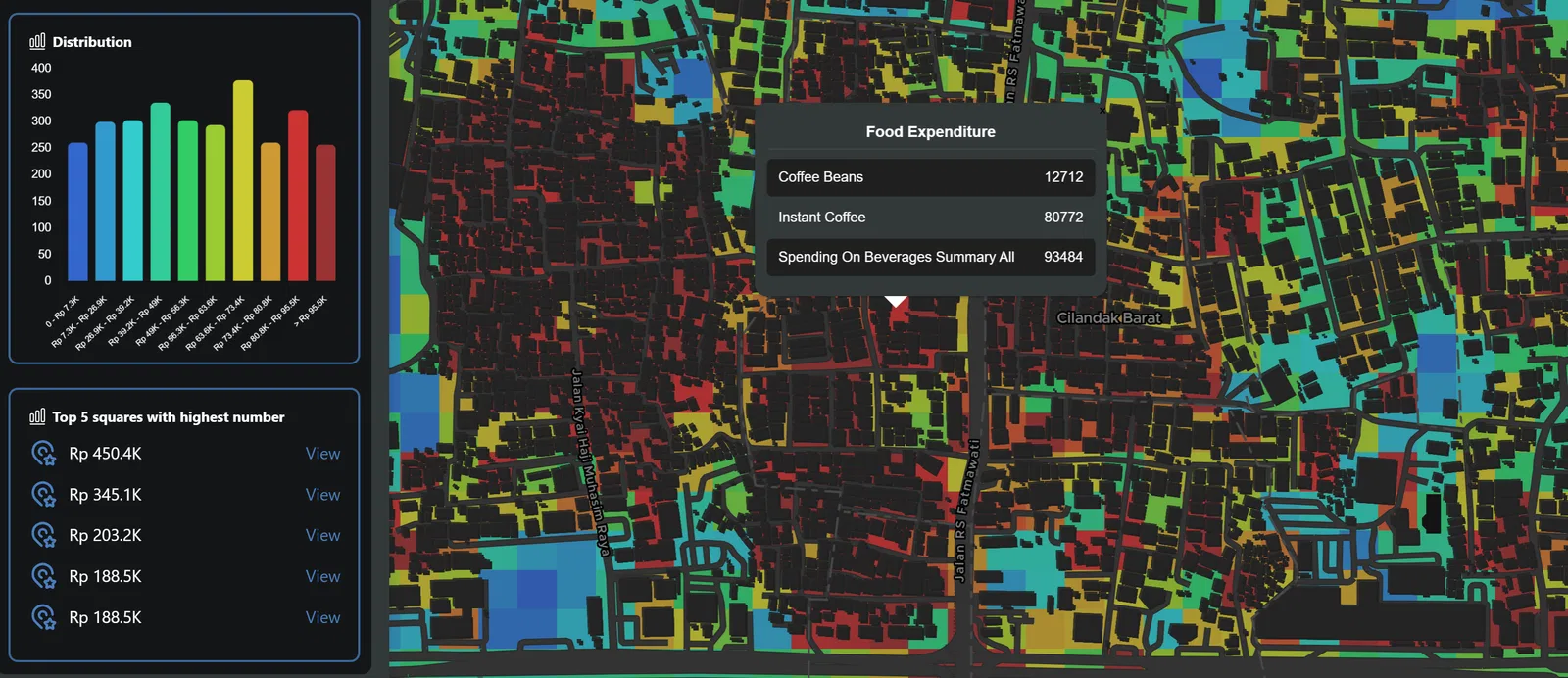
We started GeoSquare because we saw the same problem again and again: maps that looked impressive, but were impossible to use when decisions needed to be made quickly. A business can’t afford to spend weeks decoding shapefiles or tangled polygons. If the data isn’t clear, it gets ignored — turning valuable insights into nothing more than digital dust. That’s where GeoSquare comes in.
We believe geospatial data shouldn’t be locked behind complex geometry that only specialists can read. Instead of messy polygons, we use a simple grid that anyone can understand at a glance. The result? Maps that actually make sense, data that’s consistent everywhere, and huge savings in time and cost. And the best part — it’s already open source. You can plug it into JS, Python, QGIS, and DuckDB and start building immediately.
Want to start building your geospatial insights with the GeoSquare grid?
Here’s how you can dive in today:
JavaScript: github.com/geosquareai/geosquare-js
Create your own GeoSquare grids, share them with the community, and ignite conversations that can lead to collaborations using the GeoSquare Discord server. Imagine sharing your personal or campus mapping project and seeing it power a startup's online marketplace.